Design + Engineering
Flood Atlas Nepal
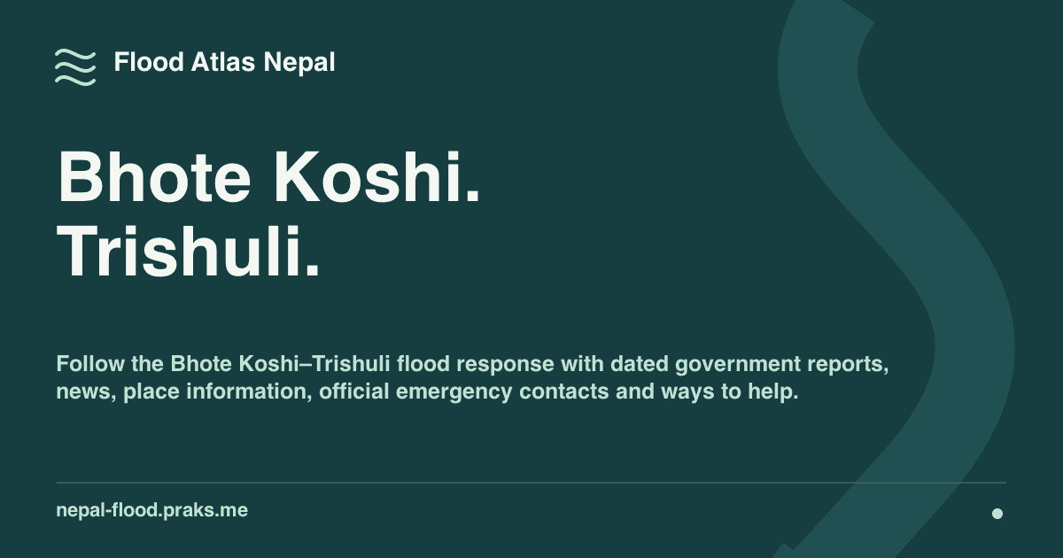
A calm, bilingual place to understand flood information in Nepal, with dated sources, geographic context, and official help routes.
Project thesis
A calm, bilingual place to understand flood information in Nepal, with dated sources, geographic context, and official help routes.
Question
A calm, bilingual place to understand flood information in Nepal, with dated sources, geographic context, and official help routes.
Decision
People may arrive under stress, on a small screen, with weak connectivity and incomplete place information.
About this project
Living in the United States, I wanted one link I could confidently share with friends who needed context for flood updates from Nepal. Useful official information already existed, but bulletins, reporting, community updates, and place names were scattered across different systems. Flood Atlas Nepal brings those sources into one calm, bilingual experience.
The interface keeps publisher identity, source time, retrieval time, and evidence status visible. Missing information remains unavailable rather than implying that a place is safe. Essential content renders before optional maps or client JavaScript, and English and Nepali routes are built into the product structure.
Reviewed source adapters and durable snapshots retain the last valid information when an upstream source fails. Some records remain manually reviewed or unavailable. The terrain view provides geographic context, not a flood simulation, risk map, or safe-route tool.
Fig. 01 · Anatomy of a public fact
- Public sourceHydrology agency
- Reviewed adapterFetch, then normalize
- Durable snapshotLast valid record
- Server-rendered pageNo client JavaScript needed
Normalized record
- Publisher
- Hydrology agency
- Original URL
- Kept with the record
- Place
- Example river station
- Issued
- 06:00 NPT
- Retrieved
- 06:12 NPT
- Reading
- 2.40 m
- Evidence state
- Observed
- Valid until
- 12:00 NPT
What the reader sees
Example river station2.40 mexample
Hydrology agency · issued 06:00 · source link
- ReachabilitySource current
- FreshnessRetrieved 12 min ago
- EvidenceObserved
A new reading is fetched, normalized with its provenance intact, and replaces the snapshot.
What worked
- Urgent actions and place checks appear before the deeper evidence and methodology layers
- Every public fact can preserve its publisher, source time, retrieval time, freshness, and verification state
- Validated snapshots keep public pages useful when an upstream agency is slow or unavailable
- English and Nepali are first-class routes rather than an afterthought layered onto one interface
What didn't
- The service depends on the cadence and structure of upstream public sources it does not control
- It is an independent aggregator, not an official alerting service or a substitute for emergency responders
- Interactive maps are intentionally secondary because they are heavier and less reliable on constrained devices
Built with
Next.js · TypeScript · Cloudflare Workers · D1 · Bilingual UX · Geospatial Data